What is Ethics
“Ethics, also known as moral philosophy, involves systematic intellectual reflection on morality in general ... or specific moral concerns in particular. The former can be called theoretical ethics, and the latter applied ethics, though the two are closely related. One realm of applied ethics that ahs garnered considerable attention outside philosophy focuses on professional conduct; thus, the moral questions asked by scientists, as well as those in, for instance, the fields of law, medicine, and business, are legitimate components of ethical inquiry.”
Ethics is not what you do, but why you do it.
Ethics in geospatial data analysis
Definition
Ethics in geospatial data analysis refers to the application of moral principles and guidelines to ensure that the collection, analysis, and use of geospatial data are conducted responsibly and with respect for individuals, communities, and the environment.
A GIS Code of Ethics
The link: Code-of-Ethics
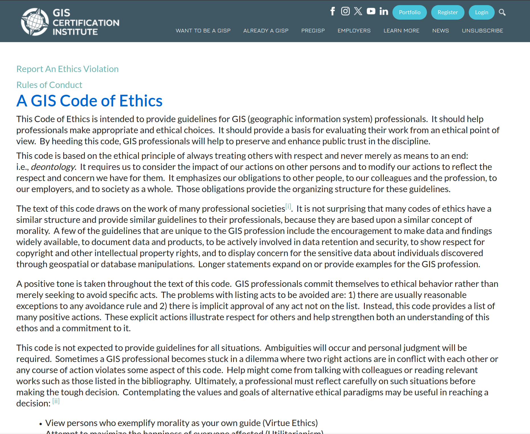
Screenshot of the GIS Code-of-Ethics page.
Rules of Conduct for Certified GIS Professionals
The link: Rules of Conduct
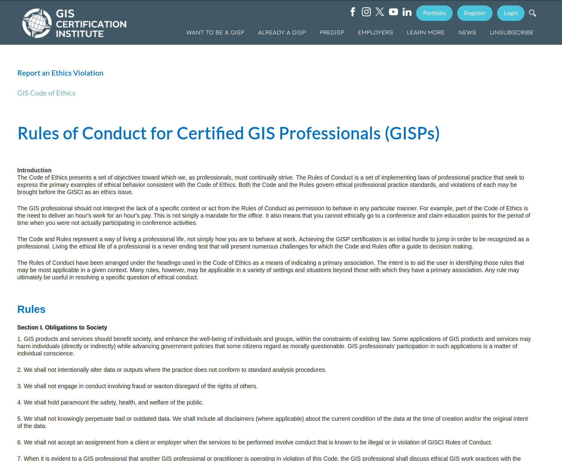
Screenshot of the Rules of Conduct page.
Ethics is not legality

Ethics and legality
Ethics is not a front-line of defense against wrong-doing.
Ethics is more like a touchstone for professionals to identify and resolve ethical dilemmas that they encounter in their research.
Geospatial Privacy
In geospatial research, particularly in people-related topics like health, crime, and disease-related studies, we often encounter privacy concerns.
Sometimes, these concerns are the reason we cannot access certain data, such as the COVID-19 distribution data in the early days of the pandemic.
In the early days of a situation involving small case numbers, the data can be traced back to individual households or persons, potentially creating unnecessary problems for the people involved. As a result, government agencies may be unable to disclose such data.
bias and inequality, privacy
In other cases, privacy becomes a crucial aspect to consider while writing the results, ensuring that we do not reveal any private information in our reports or manuscripts.
Making sure the anonyminity or de-identification could not be re-identified.
.split-30[.column[
Geospatial Privacy
Protecting geospatial information privacy involves employing various strategies to ensure that individuals’ personal information remains secure and anonymous.
Data anonymization: Remove or alter personally identifiable information from geospatial datasets. This can be achieved through techniques such as generalization, perturbation, or differential privacy.
Geo-masking: Geo-masking involves altering or obscuring the precise location information in geospatial data to protect individual privacy. This can be achieved by shifting, rotating, or perturbing the coordinates, or by introducing random noise to the location data. Geo-masking allows for the analysis of geospatial patterns and trends while maintaining a degree of anonymity for individuals or sensitive locations.
Data aggregation: Combine data from multiple individuals or locations to make it more difficult to trace information back to a specific person or place.
Privacy-preserving data mining: Utilize data mining techniques that protect privacy, such as k-anonymity, l-diversity, or t-closeness, to analyze geospatial data without revealing sensitive information.